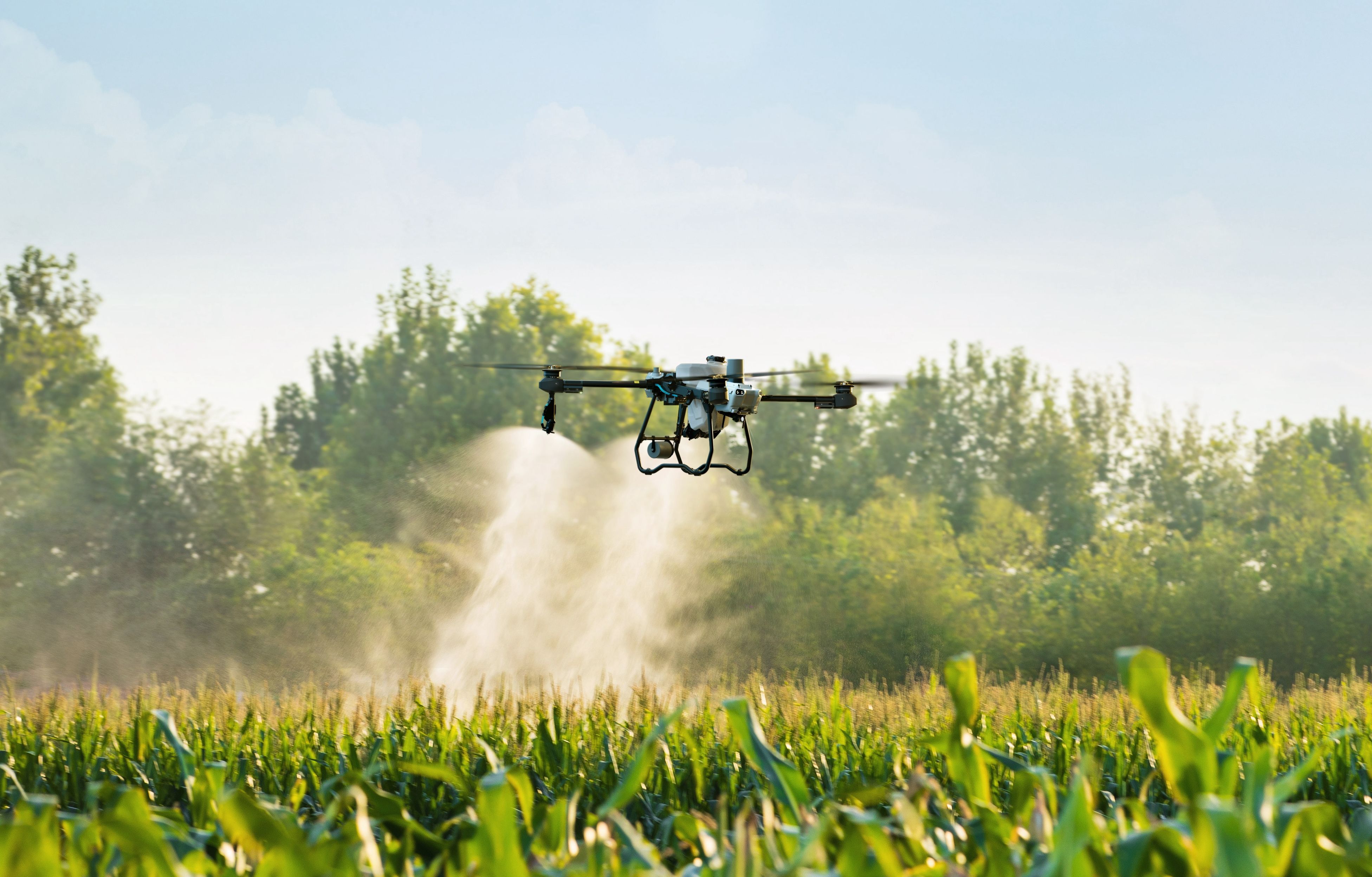
Technology continues to reshape modern farming, and drones have quickly become one of the most valuable tools available to agricultural producers. While many people associate drones mainly with crop spraying, they also play an important role in field mapping and monitoring.
Drone mapping provides farmers with high-resolution aerial data that can reveal valuable insights about crop health, soil conditions, and field performance. With this information, growers can make better decisions that improve productivity while reducing unnecessary input costs.
Understanding Drone-Based Field Mapping
Drone mapping involves capturing aerial images across farmland and combining them into detailed maps. These maps allow farmers to see patterns across entire fields that are difficult to detect from ground level.
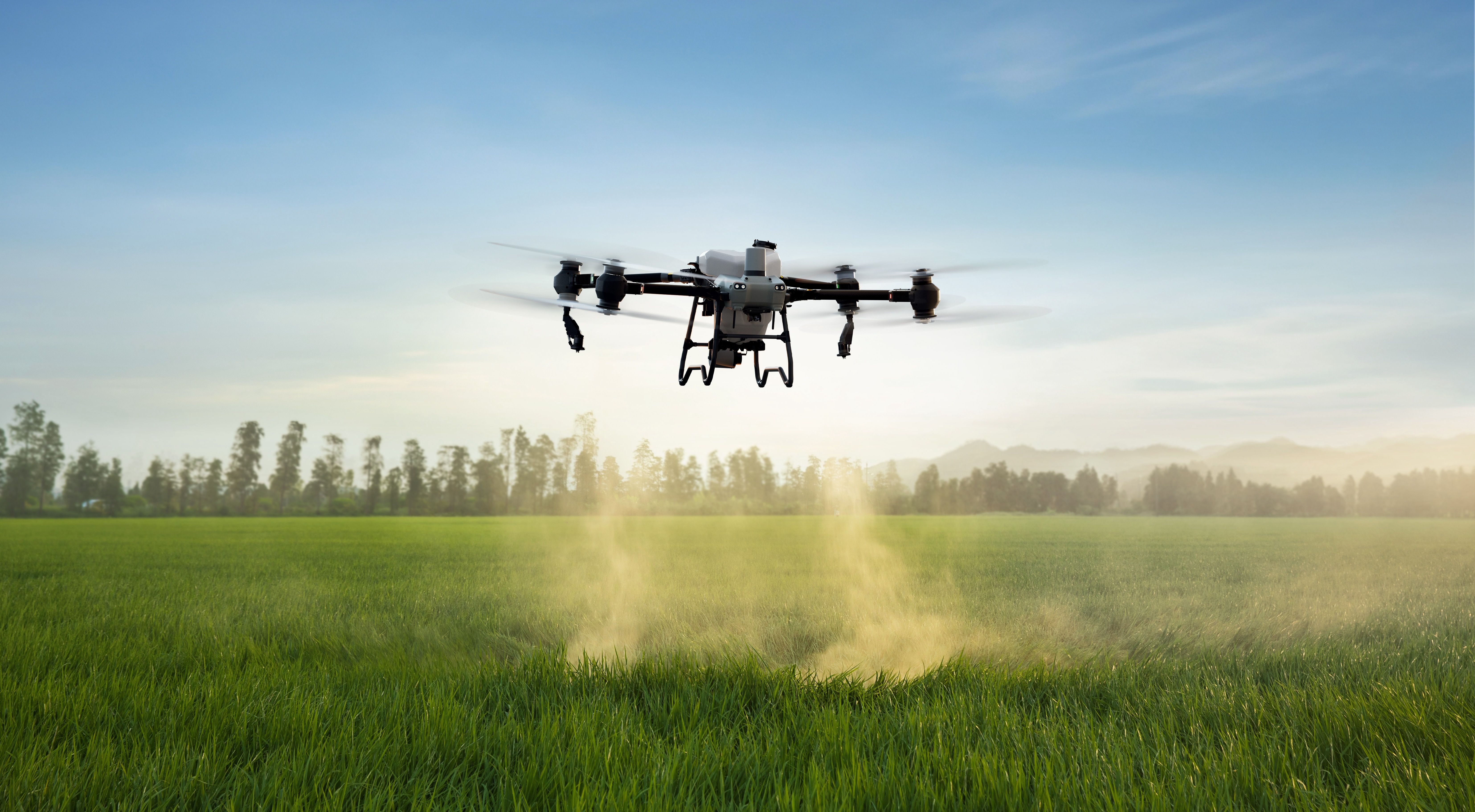
Agricultural drones already play an important role in modern farming operations. For example, many growers rely on agricultural drone spraying to apply fertilizers and crop protection products efficiently across large areas.
Mapping technologies complement these services by helping farmers understand exactly where treatment may be needed.
Identifying Crop Health Issues Early
One of the biggest advantages of drone mapping is early detection. Aerial imagery can highlight areas where crops may be experiencing stress due to pests, water shortages, or nutrient deficiencies.
By identifying these issues early, farmers can address problems before they spread across the entire field. This targeted approach works well alongside precision drone agriculture techniques that focus on applying resources only where they are needed.
Improving Irrigation and Resource Management
Drone mapping can also reveal irrigation patterns and soil moisture differences throughout a field. Some areas may receive too much water while others remain dry.
When farmers have clear visual data, they can adjust irrigation systems and improve water distribution. Efficient resource management like this supports the goals of sustainable farming with agricultural drones by reducing waste and improving crop performance.
Supporting More Accurate Crop Treatments
Detailed field maps help farmers apply fertilizers, herbicides, and pesticides more accurately. Instead of treating the entire field, they can focus on the areas that truly require attention.
This targeted method works especially well when combined with drone spraying services in California farms that deliver precise aerial applications.
By aligning drone mapping with aerial application strategies, farmers can maximize efficiency while minimizing chemical usage.
Enhancing Farm Planning and Long-Term Productivity
Drone-generated maps can also be used for long-term planning. Farmers can track seasonal changes, monitor crop performance over time, and evaluate which areas of the field produce the best yields.
These insights help growers improve planting strategies, optimize crop rotation, and increase overall farm productivity.
Final Thoughts
Drone mapping is becoming an essential tool for modern agriculture. By providing farmers with accurate aerial data, drones help identify crop health issues early, improve irrigation management, and support more precise crop treatments.
When combined with professional aerial services and precision agriculture technologies, drone mapping gives farmers a powerful way to improve efficiency and make better decisions for long-term success.