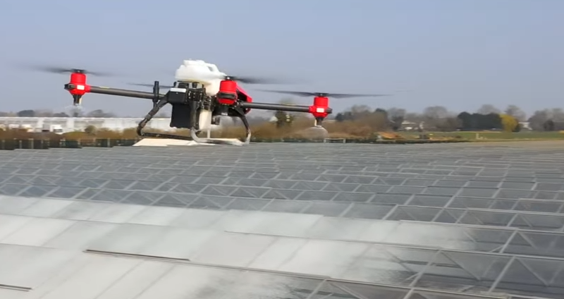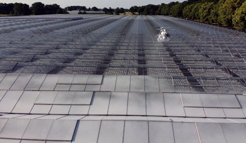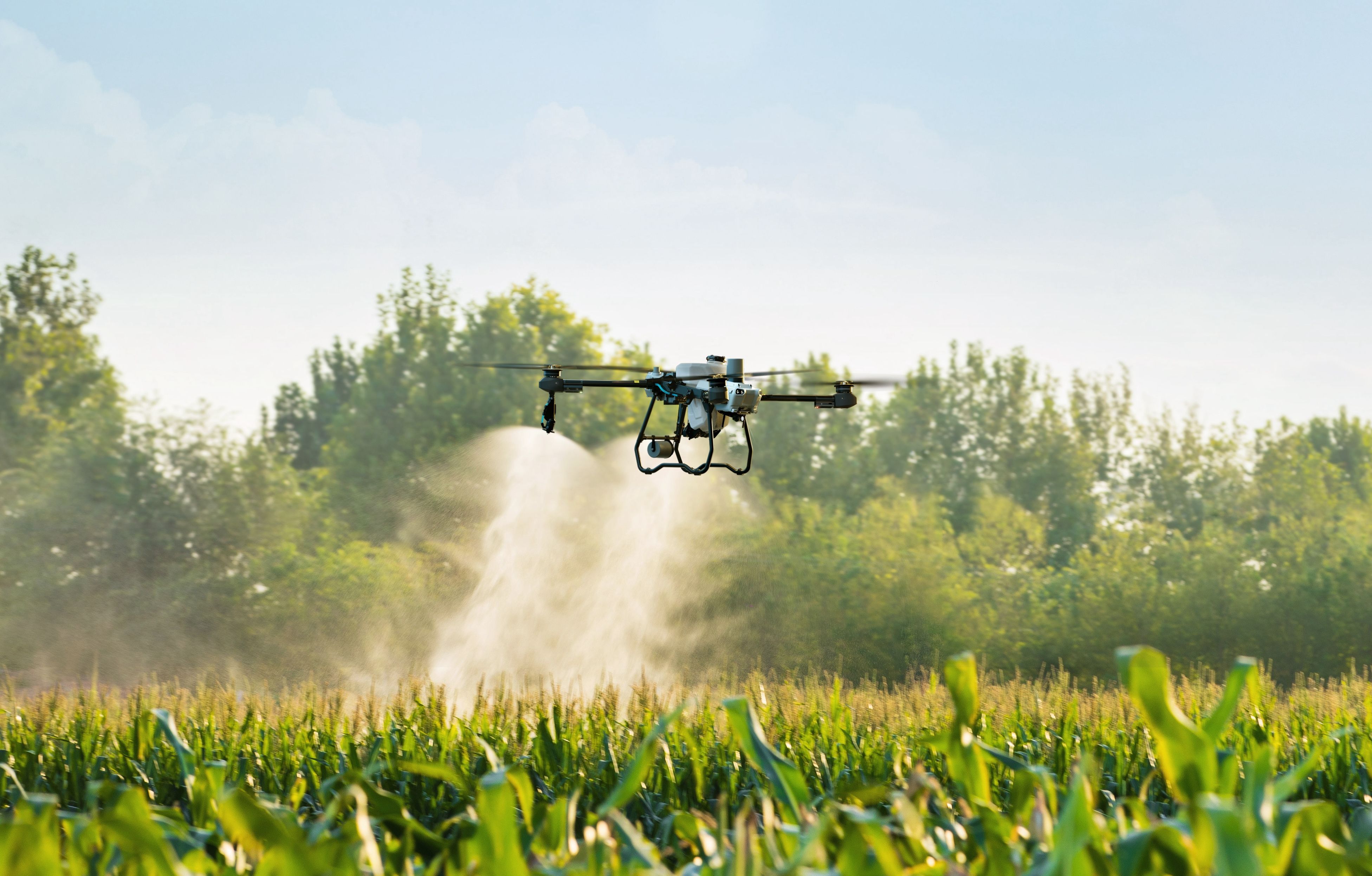
Modern agriculture is becoming increasingly data-driven. Farmers are no longer relying solely on visual inspections and historical records to make management decisions. Instead, advanced technologies such as drone mapping and field analytics are providing real-time insights that help improve productivity, reduce costs, and optimize crop performance.
Agricultural drones have already transformed the way growers approach spraying applications, crop monitoring, and field assessments. However, one of the most valuable capabilities of drone technology is its ability to collect detailed aerial data that supports smarter decision-making throughout the growing season.
Companies like Specialty Drone Solutions are helping agricultural operations leverage drone technology to improve field visibility and gain actionable insights that traditional scouting methods may miss.
This article explores how drone mapping and field analytics are changing modern crop management and why more producers are incorporating these tools into their farming operations.
The Growing Importance of Precision Agriculture
Agriculture has always involved managing variables such as weather, soil conditions, pests, nutrients, and irrigation. The challenge for growers is identifying problems quickly enough to minimize their impact.
Precision agriculture focuses on collecting accurate data to make informed decisions rather than treating entire fields uniformly.
Drone mapping plays a significant role in this process by providing:
- High-resolution aerial imagery
- Field variability analysis
- Crop health assessments
- Soil condition evaluations
- Resource management insights
When combined with field analytics, this information helps farmers respond more effectively to changing conditions.
For a deeper look at precision farming technologies, see the article on precision agricultural drone applications precision agricultural drone
What Is Drone Mapping?
Drone mapping involves using unmanned aerial vehicles equipped with specialized cameras and sensors to capture images of agricultural fields.
These images are processed into detailed maps that reveal information not easily visible from the ground.
Drone mapping can generate:
- Orthomosaic field maps
- Vegetation health maps
- Elevation models
- Plant population assessments
- Drainage pattern analysis
The resulting data allows growers to evaluate field conditions with exceptional accuracy.
Why Traditional Field Scouting Has Limitations
Field scouting remains an important part of crop management, but it has several limitations.
Challenges include:
- Large acreage coverage
- Time constraints
- Human error
- Limited visibility across entire fields
Even experienced scouts can miss developing issues when only a small percentage of a field is inspected.
Drone mapping provides a broader perspective by capturing comprehensive aerial views that reveal patterns and trends across entire operations.
Early Detection of Crop Stress
One of the greatest benefits of drone analytics is the ability to identify crop stress before visible symptoms become severe.
Stress factors may include:
- Nutrient deficiencies
- Disease outbreaks
- Pest infestations
- Water stress
- Soil compaction
Multispectral imaging can detect subtle changes in plant health that are not visible to the naked eye.
Early intervention often prevents minor issues from becoming major yield losses.
Improving Irrigation Management
Water management remains one of the most important factors affecting crop performance.
Drone-generated field maps can help identify:
- Dry zones
- Overwatered areas
- Irrigation system inefficiencies
- Drainage problems
This information enables growers to make more informed irrigation decisions.
Improved water management can lead to:
- Better crop health
- Reduced water waste
- Lower operating costs
- Increased sustainability
Identifying Nutrient Deficiencies
Nutrient deficiencies often develop gradually and may not be immediately noticeable during routine field inspections.
Drone analytics can reveal areas experiencing:
- Nitrogen deficiencies
- Phosphorus shortages
- Potassium imbalances
- Micronutrient issues
By pinpointing affected zones, growers can apply corrective treatments more efficiently.
This targeted approach helps reduce unnecessary fertilizer applications while improving crop performance.
Enhancing Variable Rate Applications
One-size-fits-all applications are becoming less common in modern agriculture.
Drone mapping supports variable rate management strategies by identifying differences across a field.
Benefits include:
- Reduced input costs
- More precise application rates
- Improved crop uniformity
- Better return on investment
The detailed information collected by drones allows growers to allocate resources where they are needed most.
Supporting More Effective Drone Spraying Operations
Accurate field data improves the effectiveness of aerial application programs.
Before spraying, drone mapping can help identify:
- Target treatment zones
- Crop health variations
- Areas requiring special attention
- Field access challenges
Combining mapping data with aerial application services can improve treatment precision and maximize coverage efficiency.
To learn more about aerial treatment methods, visit What is aerial application
Monitoring Crop Development Throughout the Season
Drone mapping is not limited to a single stage of production.
Growers can perform regular flights throughout the growing season to monitor:
- Emergence rates
- Vegetative growth
- Canopy development
- Reproductive stages
- Pre-harvest conditions
Comparing historical drone data allows farmers to track progress and evaluate management decisions over time.
Improving Pest and Disease Management
Pests and diseases often spread unevenly throughout a field.
Drone analytics help identify hotspots where problems are beginning to develop.
This enables:
- Faster treatment decisions
- Reduced pesticide use
- More targeted interventions
- Better protection of healthy areas
The ability to detect issues early can significantly reduce yield losses.
Field Boundary and Acreage Verification
Accurate acreage measurements are important for planning and operational management.
Drone mapping can verify:
- Field boundaries
- Planting areas
- Conservation zones
- Waterways
- Infrastructure locations
This information supports recordkeeping, planning, and compliance efforts.
Soil Variability Assessment
Not all areas of a field perform equally.
Drone-generated data can reveal variations related to:
- Soil texture
- Organic matter levels
- Drainage characteristics
- Compaction zones
Understanding these differences allows growers to tailor management practices to specific field conditions.
Improving Harvest Planning
Drone analytics also provide value near harvest time.
Aerial imagery can help evaluate:
- Crop maturity
- Stand uniformity
- Lodging issues
- Harvest sequencing priorities
Better harvest planning can improve efficiency and reduce delays.
Supporting Sustainable Farming Practices
Sustainability has become an important goal for many agricultural operations.
Drone technology supports sustainability by helping reduce unnecessary use of:
- Water
- Fertilizers
- Herbicides
- Insecticides
- Fuel
By applying resources more precisely, growers can lower environmental impact while maintaining productivity.
For additional insights into sustainable agricultural technology, explore Role of agricultural drones in sustainable farming
Reducing Operational Costs
Every farming operation faces pressure to manage costs while maintaining yields.
Drone mapping contributes to cost savings through:
- Improved resource allocation
- Reduced scouting labor
- More targeted applications
- Early problem detection
- Better decision-making
The long-term savings often outweigh the investment in data collection services.
Integrating Drone Data with Farm Management Systems
Many modern agricultural operations use digital platforms to manage field records and production data.
Drone analytics can often integrate with:
- Farm management software
- Precision agriculture platforms
- Yield monitoring systems
- GPS-guided equipment
This integration creates a more complete picture of field performance.
Why California Growers Are Increasingly Using Drone Technology
California producers face unique challenges, including:
- Water restrictions
- Labor shortages
- Diverse crop types
- Environmental regulations
Drone technology helps address many of these challenges by improving efficiency and providing accurate field intelligence.
As a result, adoption continues to increase across specialty crops, orchards, vineyards, and row crop operations.
For more information about drone applications in California agriculture, visit agricultural drone services california
Choosing a Professional Drone Service Provider
Successful drone programs depend on accurate data collection and proper analysis.
When evaluating providers, consider:
- Agricultural experience
- Equipment capabilities
- Data processing expertise
- Regulatory compliance
- Reporting quality
Professional drone service providers can help growers interpret data and convert aerial imagery into actionable recommendations.
To learn more about professional drone services, see: https://specialtydronesolutions.com/professional-drone-services
The Future of Drone Mapping and Agricultural Analytics
Drone technology continues to evolve rapidly.
Emerging advancements include:
- Artificial intelligence analysis
- Automated flight planning
- Real-time field monitoring
- Predictive crop modeling
- Enhanced sensor technologies
These innovations will provide even greater insights and improve decision-making capabilities for agricultural operations.
As precision agriculture expands, drone mapping will likely become an increasingly important component of modern farm management.
Conclusion
Drone mapping and field analytics are transforming the way growers manage crops. By providing detailed aerial insights into crop health, irrigation performance, nutrient status, pest activity, and field variability, drones help farmers make faster and more informed decisions.
The ability to identify problems early, optimize resource use, and improve operational efficiency makes drone technology a valuable investment for modern agriculture. Companies like Specialty Drone Solutions continue to help growers leverage advanced drone capabilities to improve productivity and strengthen long-term farm performance.
As agriculture becomes increasingly data-driven, drone mapping and field analytics will play a central role in helping producers maximize yields, reduce costs, and build more sustainable farming operations.