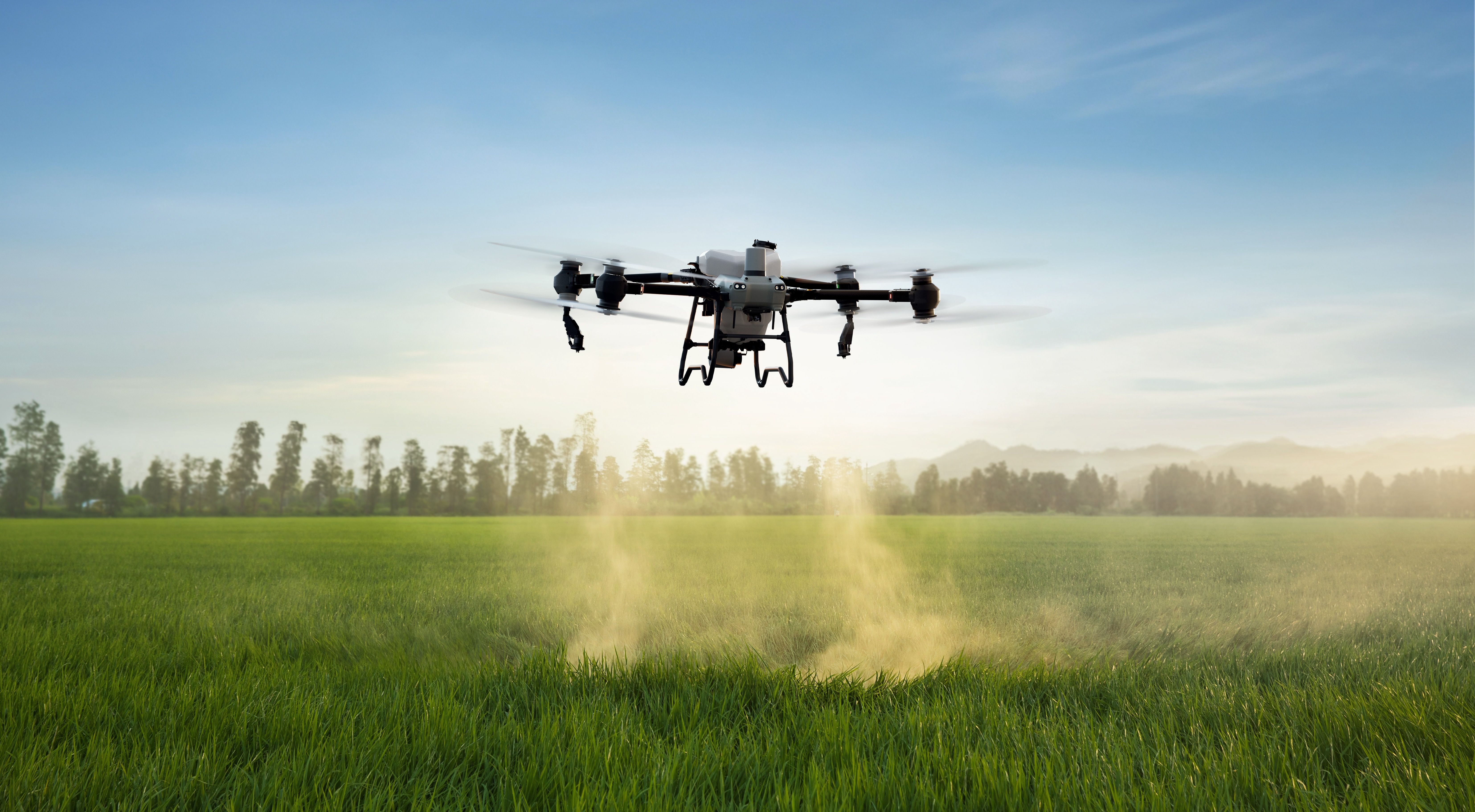
Modern agriculture is undergoing a major transformation driven by data, automation, and aerial intelligence. Among the most impactful innovations in precision farming is agricultural drone mapping, which allows farmers to gather highly detailed, real-time insights about their fields without physically walking every acre.
Drone mapping technology helps farmers make faster, more accurate decisions about irrigation, fertilization, pest control, crop health, and overall field management. Instead of relying on manual inspection or delayed satellite imagery, agricultural drones provide immediate and precise aerial data that supports efficient farm operations.
At Specialty Drone Solutions, advanced drone technologies are used to support precision agriculture through aerial mapping, crop spraying, and field monitoring systems designed to improve productivity, sustainability, and operational efficiency.
What Is Agricultural Drone Mapping?
Agricultural drone mapping refers to the use of drones equipped with high-resolution cameras, multispectral sensors, and GPS systems to capture detailed images and data of farmland.
These drones collect information such as:
- Crop health indicators
- Soil variations
- Field elevation data
- Irrigation patterns
- Pest and disease zones
- Plant growth differences
The collected data is then processed into maps and models that farmers can use to make informed decisions.
Unlike traditional field inspections, drone mapping covers large areas quickly and provides far more detailed insights.
Why Drone Mapping Is Transforming Modern Agriculture
Agriculture has always relied on observation and experience. However, modern farms are often too large and complex for manual monitoring alone.
Drone mapping helps solve key challenges such as:
- Large field sizes
- Labor shortages
- Time-consuming inspections
- Delayed problem detection
- Inefficient resource use
By providing instant aerial visibility, drones allow farmers to detect issues earlier and respond more efficiently.
This leads to improved crop yields and reduced operational costs.
Early Detection of Crop Problems
One of the most valuable benefits of drone mapping is early detection of crop stress.
Drones can identify:
- Nutrient deficiencies
- Pest infestations
- Disease spread
- Water stress
- Soil inconsistencies
Early detection allows farmers to treat affected areas before problems spread across entire fields.
This precision approach helps reduce crop loss and improves long-term productivity.More insights on early detection are available in How Drones Detect Crop Problems Early.
Drone Mapping Improves Field Management Efficiency
Large farms often require complex planning for irrigation, fertilization, and planting schedules.
Drone mapping helps improve field management by providing:
- Accurate field boundaries
- Soil variability mapping
- Crop density analysis
- Growth pattern tracking
This information allows farmers to apply resources more precisely, reducing waste and improving efficiency.Farmers can also divide fields into management zones based on data instead of assumptions.Detailed mapping applications are explored in Drone Mapping for Farm Field Management.
Precision Agriculture Depends on Data Accuracy
Precision agriculture focuses on applying the right resources at the right time and in the right location.
Drone mapping improves precision farming by delivering:
- High-resolution imagery
- Real-time field analysis
- GPS-based accuracy
- Multispectral crop insights
This allows farmers to tailor irrigation, fertilization, and pesticide use based on specific field conditions rather than treating entire fields uniformly.
The result is:
- Higher crop yields
- Lower input costs
- Improved sustainability
- Better soil management
Precision agriculture systems are further explained in Specialty Drone Solutions Precision Agriculture.
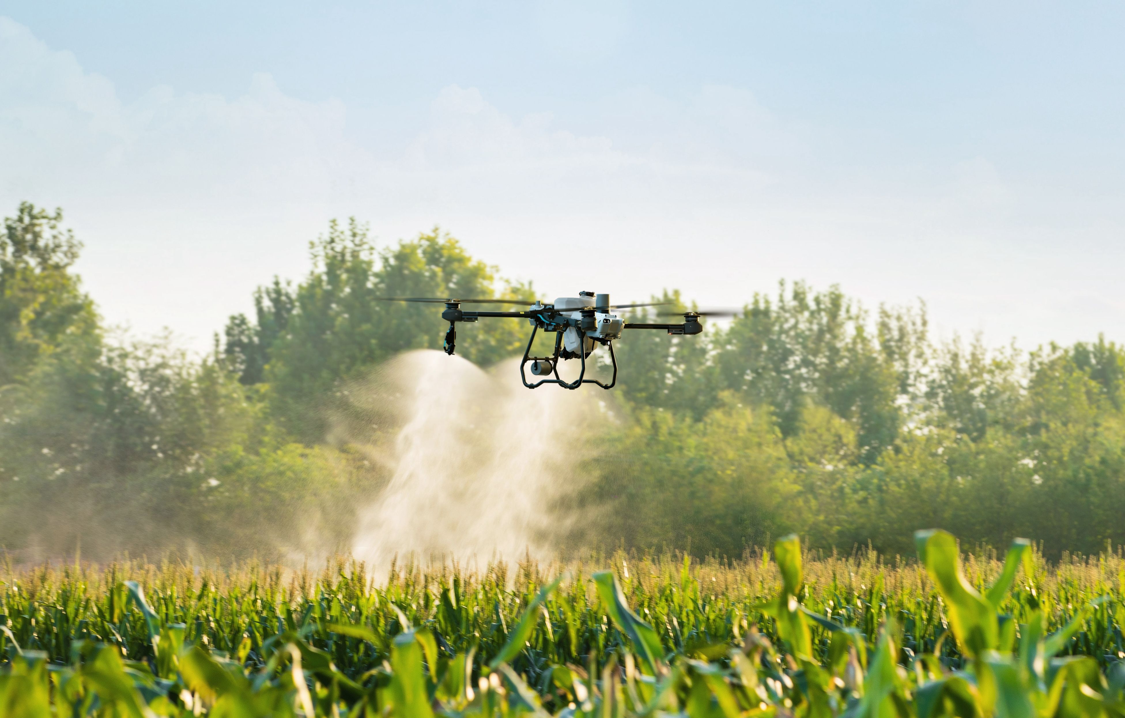
Drone Spraying Works Alongside Mapping Technology
Agricultural drone mapping is often paired with drone spraying systems to create a complete precision farming solution.
Once drones identify problem areas, spraying drones can:
- Apply fertilizers precisely
- Target pesticide zones
- Deliver herbicide treatments
- Reduce chemical overuse
This targeted application ensures that resources are used efficiently and only where needed.
More about spraying technology can be found in:
Soil Health Monitoring Through Drone Data
Healthy soil is essential for productive farming, and drone mapping provides valuable insights into soil variation across large fields.
Drones can help identify:
- Moisture differences
- Compaction zones
- Nutrient distribution
- Drainage issues
These insights allow farmers to improve soil management practices and make targeted improvements rather than applying blanket treatments.Soil health monitoring applications are explained in How Drone Technology Enhances Soil Health Monitoring Large Farms.
Drone Technology Reduces Labor Requirements
Traditional field monitoring requires large amounts of manual labor, especially on expansive farms.
Drone mapping reduces labor demands by:
- Eliminating physical field scouting
- Reducing inspection time
- Automating data collection
- Improving reporting accuracy
Farm managers can make decisions faster without needing to physically inspect every part of their fields.
This improves productivity while reducing operational strain on agricultural teams.
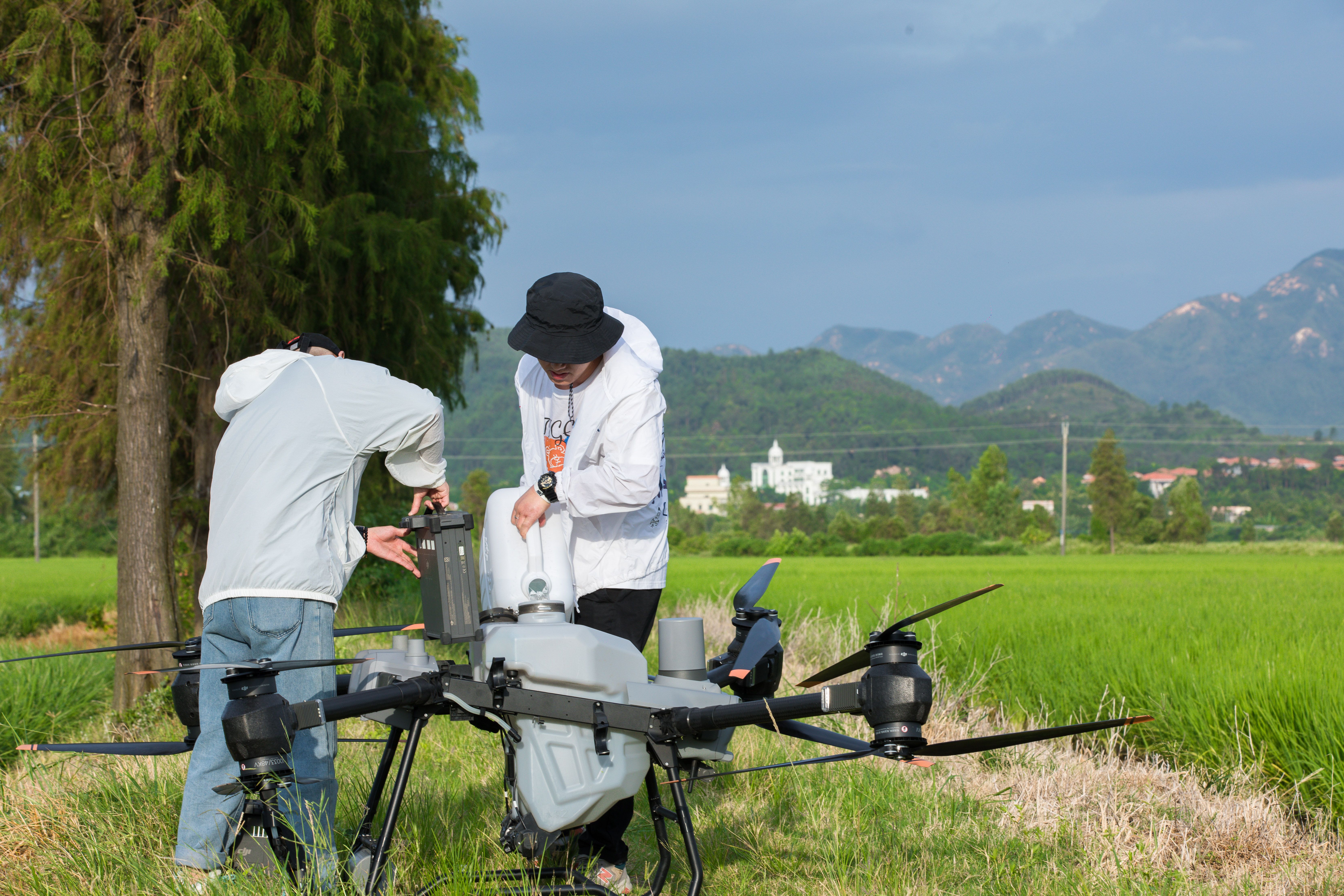
What Happens Before Drone Mapping Begins
Before drones begin collecting data, several important steps are taken to ensure accuracy and safety.
These include:
- Flight planning
- Area mapping setup
- Sensor calibration
- Weather assessment
- Safety checks
Proper preparation ensures that drone flights deliver accurate and usable agricultural data.More about preparation processes is available in What Happens Before a Drone Ever Takes Off.
Drone Mapping Supports Sustainable Farming Practices
Sustainability is becoming increasingly important in modern agriculture.
Drone mapping contributes to sustainability by:
- Reducing chemical usage
- Improving water efficiency
- Minimizing waste
- Enhancing soil conservation
- Supporting precision input application
By applying resources more accurately, farmers reduce environmental impact while maintaining productivity.This aligns with long-term goals of sustainable agriculture and responsible land use.
Drone Data Helps Improve Crop Yield Predictions
Accurate yield prediction is essential for farm planning, storage logistics, and market strategy.
Drone mapping provides:
- Growth pattern analysis
- Plant health scoring
- Field variability mapping
- Historical comparison data
These insights help farmers estimate yields more accurately and adjust strategies throughout the growing season.
Better forecasting improves financial planning and reduces uncertainty in agricultural operations.
Large Farms Benefit the Most from Drone Mapping
While drone technology can support farms of all sizes, large-scale agricultural operations benefit significantly due to:
- Extensive acreage
- Limited workforce availability
- Higher operational complexity
- Greater resource management needs
Drone mapping allows large farms to maintain consistent monitoring without increasing labor costs or time requirements.
The Future of Drone Mapping in Agriculture
Drone technology continues to evolve rapidly, with future improvements likely including:
- AI-powered crop analysis
- Automated disease detection
- Real-time field monitoring
- Integrated farm management systems
- Advanced predictive modeling
As these technologies improve, drone mapping will become an essential part of modern agricultural operations.The future of agricultural drones is further explored in The Future of Agricultural Drone Spraying.
Agricultural Drone Services as a Complete Solution
Modern precision farming relies on a combination of mapping, spraying, and analytics services.
Together, these systems provide:
- Complete field visibility
- Targeted crop treatment
- Efficient resource use
- Improved decision-making
- Higher productivity
Drone services are becoming a core part of advanced agricultural operations worldwide.More service details are available in Agricultural Drone Services Precision Aerial Solutions.
Final Thoughts
Agricultural drone mapping is revolutionizing modern farming by providing detailed, real-time insights that improve efficiency, productivity, and sustainability. From early crop problem detection and soil health monitoring to precision spraying and yield prediction, drone technology is transforming how farmers manage their land.
By reducing labor requirements, improving data accuracy, and enabling precision agriculture practices, drone mapping helps farmers make smarter decisions that lead to better crop outcomes and lower operational costs.
As technology continues advancing, agricultural drones will play an even more important role in shaping the future of farming. Through innovative aerial solutions and precision agriculture services, Specialty Drone Solutions continues helping farmers unlock higher efficiency, improved sustainability, and greater long-term success.